Google Maps is Making It Easier for Canadians to Avoid Busy Stations
Riley von Niessen — June 15, 2020 — Lifestyle
References: blog.google
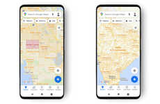
With more Canadians returning to work and public transit ridership increasing, Google updated its Map features to include more information on crowds by refining its predictions on busy times so that users can more easily avoid crowded stations and reduce their risk of exposure to COVID-19.
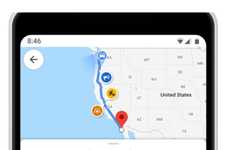
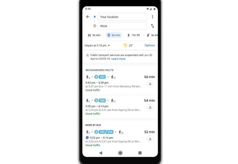
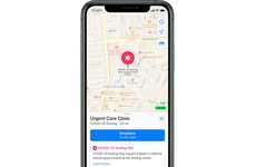
To do this, Google will surface more live data and times on transit departure boards through its app. To find this information, users can search for their transit station on Google Maps or click on the station when they see it on the app. In addition to including more data on busyness, Google Maps will now notify users if their final destination may be impacted by government border restrictions as well.
In the near future, Google will be adding more pandemic-specific features to the app, including more in-depth information on COVID-19 testing centers to ensure that users are aware of appointment requirements and whether or not the center has drive-through testing available.
Image Credit: Google
Trend Themes
1. Increased Transit Crowd Monitoring - By refining crowd predictions and providing live transit data, there is an opportunity to create innovative solutions for crowd management in public transportation.
2. Integration of COVID-19 Information - Incorporating data on government border restrictions and COVID-19 testing centers into map applications can disrupt how users plan their travel and stay informed during the pandemic.
3. Enhanced Public Transportation Safety - Developing features that notify users of potential risks and suggest alternative routes to avoid crowded stations can lead to disruptive innovations in improving public transportation safety.
Industry Implications
1. Transportation - The transportation industry can benefit from leveraging advanced data analytics and technology to better manage crowd and improve safety measures in public transit systems.
2. Mapping and Navigation - Incorporating real-time transit data and COVID-19 information into mapping and navigation platforms presents opportunities for disruptive innovation in enhancing user experiences and safety.
3. Healthcare and Testing - Collaborating with map applications to provide updated information on COVID-19 testing centers can disrupt how healthcare services are accessed and improve convenience for patients.
0.9
Score
Popularity
Activity
Freshness


