Google Maps is Updating Its Features to Navigate National Parks
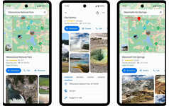
Google Maps gets a new update that is integrated with more detailed information regarding national parks in the US. This way, it helps users better navigate and prevent them from getting lost in the large parks. When users search for particular parks on their phones, they are now able to see photos and video content of notable attractions that are taken by others who have visited the sites.
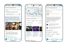
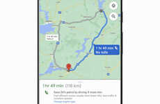
It will also highlight an entire trail from the beginning and lead them through the end. Other new details include the difficulty level along with other information -- whether it is more efficient to walk, cycle, or run. This informative approach will also tap into users' reviews of the trails and parks.
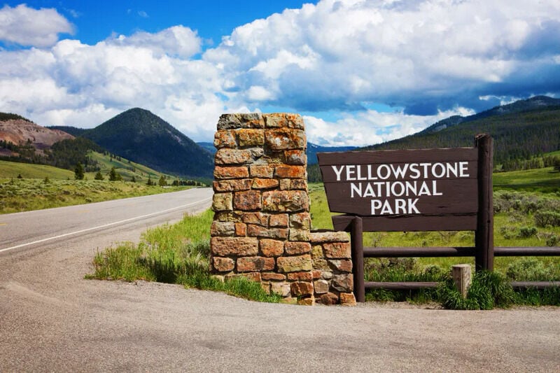
Image Credit: NicolasMcComber, Getty Images
Trend Themes
1. National Park Navigation - With Google Maps updating its features for national parks, there is an opportunity for companies to create more detailed information and tools to help users navigate the parks.
2. Visual Mapping - With the new integration of photos and video content in Google Maps for national parks, there is an opportunity for companies to create visual mapping tools for other outdoor areas.
3. Personalized Recommendations - Google Maps' use of user reviews to inform its national parks recommendations presents an opportunity for companies to create more personalized recommendations for other types of destinations.
Industry Implications
1. Travel and Tourism - Travel and tourism companies can incorporate Google Maps' national park features into their own apps, allowing users to navigate parks more easily and discover new attractions.
2. Outdoor Recreation - With the new tools available in Google Maps for national parks, outdoor recreation companies can create similar tools for their customers to navigate trails and outdoor areas more effectively.
3. Mapping and GIS - The integration of photos and other data into Google Maps for national parks presents opportunities for mapping and GIS companies to create more immersive and detailed mapping tools.
3.1
Score
Popularity
Activity
Freshness


