


Geocoders.io API Provides Geocoding and Location Intelligence Solutions
Ellen Smith — March 19, 2025 — Lifestyle
References: geocoders.io
Geocoders.io provides developers with fast and reliable geospatial APIs for geocoding, address validation, and geospatial boundary solutions for users. Built with performance in mind using Rust, the platform offers precise and scalable geospatial services. It is designed to integrate seamlessly into applications, enabling businesses to unlock location intelligence easily.
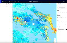
The API delivers accurate results in real-time, ensuring that developers can efficiently incorporate geospatial data into their projects without compromising on speed or reliability. Whether for mapping, logistics, or location-based services, Geocoders.io enables businesses to enhance user experiences by providing precise location data. The service is particularly valuable for developers seeking a high-performance geospatial solution to meet the growing demand for location-based features in today’s digital landscape.
Image Credit: Geocoders.io
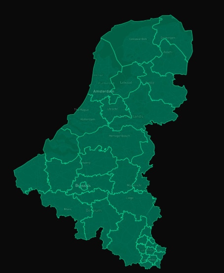
Trend Themes
1. Real-time Geospatial Data - The demand for real-time geospatial data integration offers opportunities for developers to enhance applications with accurate, instant location insights.
2. Scalable Geocoding Solutions - Businesses can capitalize on scalable geocoding solutions to meet increasing demands for large-scale location processing across various sectors.
3. Performance-driven Apis - Performance-driven APIs open avenues for applications requiring rapid data processing without the compromise of accuracy, especially in logistics and navigation.
4. Location Intelligence Tools - Advances in location intelligence tools empower industries to make data-driven decisions, enriching services with contextually aware features.
5. Seamless API Integration - Seamless API integration facilitates the addition of complex spatial data into existing systems, presenting clear value in the pursuit of streamlined processes.
6. Boundary Mapping Services - Boundary mapping services stand at the forefront of providing precise geographical demarcations crucial for various analytics applications.
Industry Implications
1. Logistics - The logistics industry benefits immensely from geospatial innovations, enabling enhanced route optimization and strategic planning.
2. Mapping Technology - In the mapping technology sector, advanced geocoding APIs drive the creation of more detailed and interactive map interfaces.
3. Location-based Services - Location-based services leverage precise geospatial data to tailor experiences, significantly impacting user engagement and satisfaction.
3.8
Score
Popularity
Activity
Freshness