Population Maps Alter the World as We Know It
Brian G Randles — October 4, 2009 — World
References: worldmapper.org & newslite
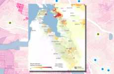
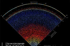
Mapping the world by its population is nothing new, but portraying the physical landscape of the map via the population produces a globe that most of us cannot recognize.
The population maps seen here feature England, the United States and the entire world. Check out how China is bulged beyond recognition, while Australia can barely be seen. Check out more on the population maps on the links below.
Implications - Geographers and those who study global demographics are doing so from a variety of growing perspectives. Where the influence of a given country may have once been measured by its geographical size or population, data analysis is now expanding to measure consumption levels, fast food consumption, population growth and many other measures.
Trend Themes
1. Data-driven Geography - Using data analysis to measure consumption levels, population growth, and other factors in global demographics.
2. Population Disparity - Highlighting the significant differences in population distribution across the world, leading to potential insights on resource allocation and economic development.
3. Visual Representation - Exploring new ways to visually portray population data to raise awareness and understanding of global demographics.
Industry Implications
1. Geographical Analysis - Enhancing geographical studies through the integration of data analysis and population maps for a more comprehensive understanding of global demographics.
2. Market Research - Leveraging population maps and data-driven geography to gain insights into consumption patterns, market potential, and target demographic segments across different regions.
3. Public Policy - Utilizing population disparity insights to inform resource allocation, infrastructure planning, and policy-making decisions aimed at addressing social and economic disparities.
3
Score
Popularity
Activity
Freshness


