


Maps for Excel Enhances Your Data With Geocoding, Heatmaps, and More
Ellen Smith — March 29, 2025 — Lifestyle
References: apps.myrout.es
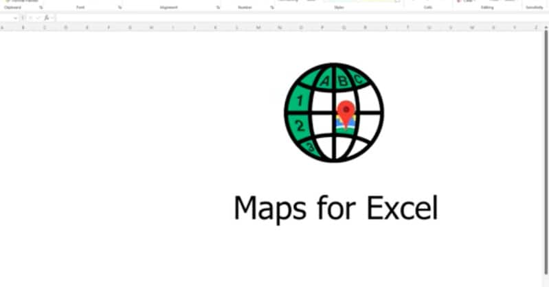
Maps for Excel is a powerful tool that is designed to integrate mapping and geocoding capabilities into Microsoft Excel. This tool allows users to add a variety of mapping features, such as heatmaps, administrative boundaries, and street views directly within their spreadsheets.
It also supports downloading GeoJSON and KML files, enhancing data visualizations. Additionally, users can access place details, build routes, and view isolines for detailed geographic analysis. The integration of mapping features into Excel can significantly improve data analysis, helping businesses and analysts make better-informed decisions. Whether you need to map locations, analyze spatial data, or visualize geographic trends, this tool offers a comprehensive solution without leaving the Excel environment, streamlining workflows and improving productivity.
Image Credit: Maps for Excel
Trend Themes
1. Integrated Geospatial Analysis - Incorporating geospatial mapping into traditional spreadsheet software opens new avenues for integrating detailed geographic data directly into everyday business analytics.
2. Real-time Data Visualization - The inclusion of dynamic maps and heatmaps within spreadsheets provides enhanced real-time data visualization capabilities for better decision-making.
3. Advanced Geographic Workflows - Streamlining geographic workflows through Excel integration simplifies complex spatial data analysis, making detailed geographic insights accessible without specialized GIS platforms.
Industry Implications
1. Business Analytics - The integration of mapping tools into business analytics platforms represents a notable shift towards more interactive and enriched data analysis processes.
2. Location Intelligence - Advancements in location intelligence are driven by tools that embed detailed geographic analysis within commonly used software, enhancing spatial understanding in various applications.
3. Spreadsheet Software - The evolution of spreadsheet software to include advanced geospatial features disrupts traditional data management by adding layers of geographic depth to conventional data formats.
5.6
Score
Popularity
Activity
Freshness