Quadcopter Uses In-built Camera to Map Out Own Surroundings
Akihiko Tse — August 26, 2013 — Tech
References: treehugger & gizmag
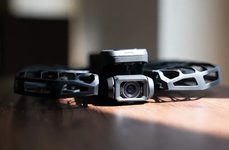
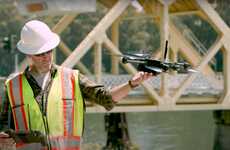
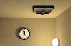
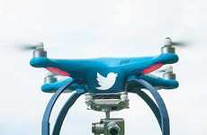
Just when we thought smartphone cameras were already well-equipped for stunning landscape shots and indulgent selfies, scientists have found a way for a camera to map its own surroundings in the form of a fully autonomous quadcopter.
Researchers at the Vienna University of Technology installed a regular smartphone camera into a quadcopter – so called because of its four rotors – that enables it to fly around in a given environment. This is done by tracking a map of squares with QR-like codes laid out on the ground, all without any human control. Costing less than a thousand euros to make, the quadcopter's smartphone camera picks up on visual inputs to the processor, while a custom app provides the code for navigation and control after it has generated a map of its surroundings.
The model is entirely reliant on visual data and is built specifically for small, indoor spaces. The team have further plans for the quadcopter to eventually be able to identify objects such as tables and chairs in a room and create a map by using a Kinect-style depth sensor.
Trend Themes
1. Fully Autonomous Quadcopters - The development of autonomous quadcopters based on visual data is poised to disrupt the aerial photography and surveillance industries.
2. QR Code-based Mapping Technology - QR-code based mapping technology can revolutionize the way objects are located and laid out in indoor spaces and can potentially transform industries such as facility management, warehousing, and logistics.
3. Kinect-style Depth Sensor - The integration of Kinect-style depth sensors with autonomous quadcopters has the potential to create 3D models of environments, fuel virtual reality applications, and disrupt industries such as construction, architecture, and gaming.
Industry Implications
1. Aerial Photography and Surveillance - Fully autonomous quadcopters can be deployed for aerial photography and surveillance applications in indoor spaces, offering new possibilities for cost-effective and efficient operations.
2. Facility Management and Warehousing - QR code-based mapping technology can help facility managers and warehouse operators to efficiently locate assets and adjust the layout of indoor spaces in real-time, disrupting traditional approaches to space management.
3. Construction, Architecture, and Gaming - The integration of Kinect-style depth sensors with autonomous quadcopters can create new opportunities for 3D modeling, virtual reality, and gaming applications, transforming industries such as construction, architecture, and gaming.
4.8
Score
Popularity
Activity
Freshness

