The Aeolus Satellite Will Be the First to Monitor Global Wind Patterns
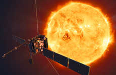
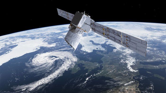
Weather is one of the most complex and difficult systems that scientists deal with, but the Aeolus satellite's mission is to make weather prediction and assessment easier. The Aeolus satellite will provide the first ever worldwide view of how atmospheric dynamics, and particularly wind, work on Earth.
Though meteorologists have models that account for the wind's movement, these have never been thoroughly proven through observation. The Aeolus satellite is dedicated to measuring the winds around the world through the use of lidar, which is a form of radar that uses lasers to track particles. The project hopes to learn about global wind patterns, cloud behavior, and the presence of aerosols in the atmosphere.
Since the Aeolus satellite is slated for launch by the end of 2017, the answers to those question are currently blowing in the wind.
Trend Themes
1. Global Wind Monitoring - The Aeolus satellite's mission to monitor global wind patterns presents opportunities for innovation in weather prediction and assessment.
2. Lidar Technology - The use of lidar technology to measure winds presents opportunities for innovation in remote sensing and radar applications.
3. Atmospheric Studies - The Aeolus satellite presents opportunities for further studies and understanding of atmospheric dynamics and behavior.
Industry Implications
1. Weather Forecasting - The Aeolus satellite presents opportunities for weather forecasting technology that can utilize global wind monitoring.
2. Remote Sensing - Lidar technology used in the Aeolus satellite can be applied to a range of industries, such as forestry, coastal mapping, and air quality monitoring.
3. Radar Technology - The use of lidar technology in the Aeolus satellite provides opportunities for innovation in radar technology for remote sensing and mapping applications.
3.2
Score
Popularity
Activity
Freshness


