The 'Optimap' App Supplies Users with Crowdsourced Topographical Data
Katherine Pendrill — November 16, 2015 — Tech
References: komoot.de & fastcoexist
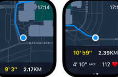
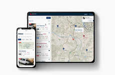
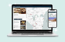
'Optimap' is a new app that supplies cyclists and hikers with crowdsourced topographical data. Although there are a number of navigational devices for drivers, there are few gadgets intended for non-car users. This mobile app gives cyclists, hikers and other outdoor enthusiasts an easy way to map the ideal route.
Optimap is an electronic mapping system that relies on crowdsourced topographical data. The goal of Optimap is to bring the "standards of high quality outdoor paper maps like the Swiss army maps, UK Ordnance Survey maps, and Austrian Kompass" to mobile devices. As a result, users can access detailed maps that highlight different places of interest for hikers, urban cyclists and mountain bikers. The map helps users plot the ideal route, while also providing important information about elevation and terrain. Although the maps are extremely detailed, the makers of Optimap designed the graphics to be as user-friendly as possible.
Optimap gives cyclists and hikers a simple tool for calculating and mapping out routes.
Trend Themes
1. Crowdsourced Topographical Data - There is a growing trend of utilizing crowdsourced topographical data to provide detailed maps for outdoor enthusiasts.
2. Navigation Apps for Non-car Users - There is an emerging trend of developing navigation apps specifically designed for cyclists, hikers, and other non-car users.
3. User-friendly Electronic Mapping Systems - There is a trend towards creating user-friendly electronic mapping systems that bring the convenience of mobile devices to outdoor activities.
Industry Implications
1. Outdoor Sports and Recreation - There are disruptive innovation opportunities in the outdoor sports and recreation industry to develop mapping apps and devices tailored for cyclists, hikers, and other outdoor enthusiasts.
2. Mobile Application Development - There are disruptive innovation opportunities in the mobile application development industry to create navigation apps specifically designed for non-car users.
3. Geospatial Technology - There are disruptive innovation opportunities in the geospatial technology industry to gather and utilize crowdsourced topographical data for the creation of detailed mapping systems.
0.6
Score
Popularity
Activity
Freshness

