The 'FireFringe' App Tracks Forest Fires In Canada's Ontario Province
Rahul Kalvapalle — July 28, 2021 — Eco
References: firefringe & narcity
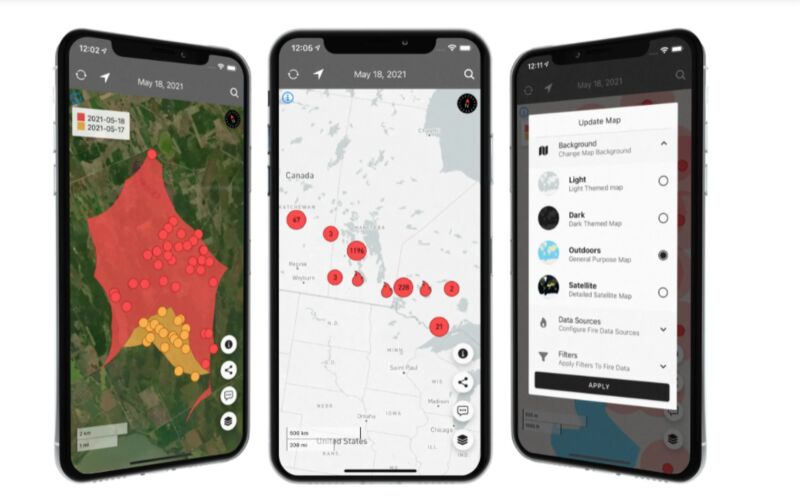
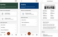
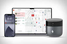
'FireFringe' is a new forest fire-monitoring app that makes use of satellite technology to provide accurate, updated and real-time depictions of forest fires in Canada's Ontario province.
The app works by compiling a wide array of pertinent forest fire-related data from Natural Resources Canada before using it to pinpoint the locations of fires, gather information about the source and status of the fire and provide emergency responders with the information and guidance they need to plot and execute their response.
With forest fires ravaging the province of Ontario and causing air pollution in cities, there is a strong need for a reliable forest fire-monitoring app that can help inform firefighting measures, which is precisely what the 'FireFringe' app is designed to achieve.
Image Credit: FireFringe / Apple App Store
Trend Themes
1. Satellite-based Forest Fire Monitoring - The use of satellite technology for real-time forest fire monitoring can improve response times and accuracy, presenting opportunities for satellite and technology companies to invest and collaborate.
2. Data-driven Forest Fire Analysis - The use of data to analyze and predict the spread of forest fires can enable more effective preventative actions, creating opportunities for data analytics companies to develop and offer their services in the forest fire management industry.
3. Crowdsourcing for Forest Fire Reporting - The use of crowdsourced data to report and track forest fires can provide faster and more accurate information, presenting opportunities for app developers and social media platforms to build and integrate their own reporting features.
Industry Implications
1. Satellite Technology - Satellite technology can be leveraged to improve forest fire monitoring, presenting opportunities for satellite companies to collaborate with forest fire management agencies and develop specialized solutions.
2. Data Analytics - Data analytics can be used to analyze and predict the spread of forest fires, presenting opportunities for data analytics companies to offer their services to forest fire management agencies.
3. App Development - Mobile apps that facilitate real-time reporting and tracking of forest fires can improve response times and effectiveness, creating opportunities for app developers to build and integrate their own solutions for the forest fire management industry.
1.6
Score
Popularity
Activity
Freshness

